Pievienojies SMART NET un ietaupi! Pievienoties

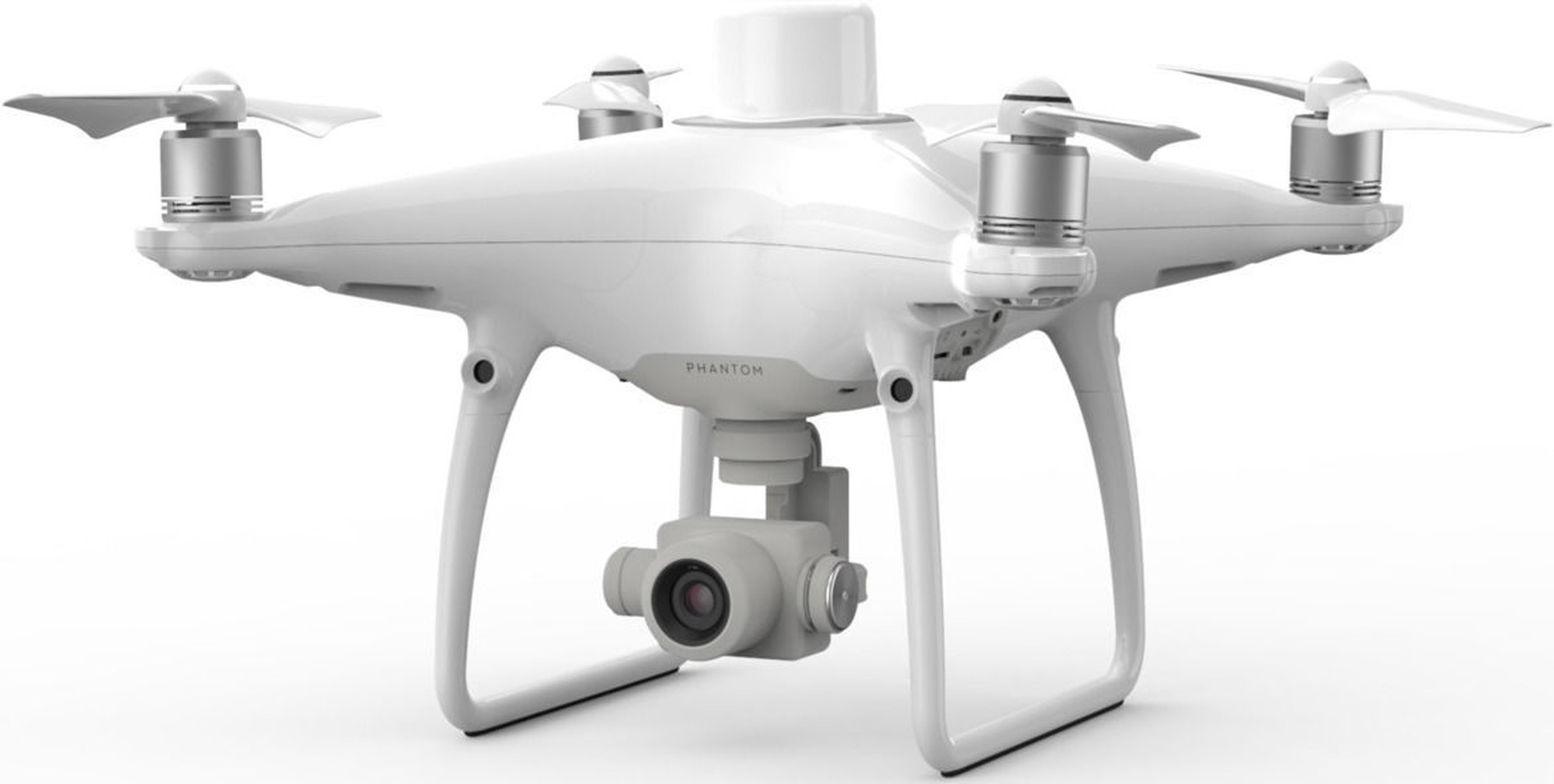
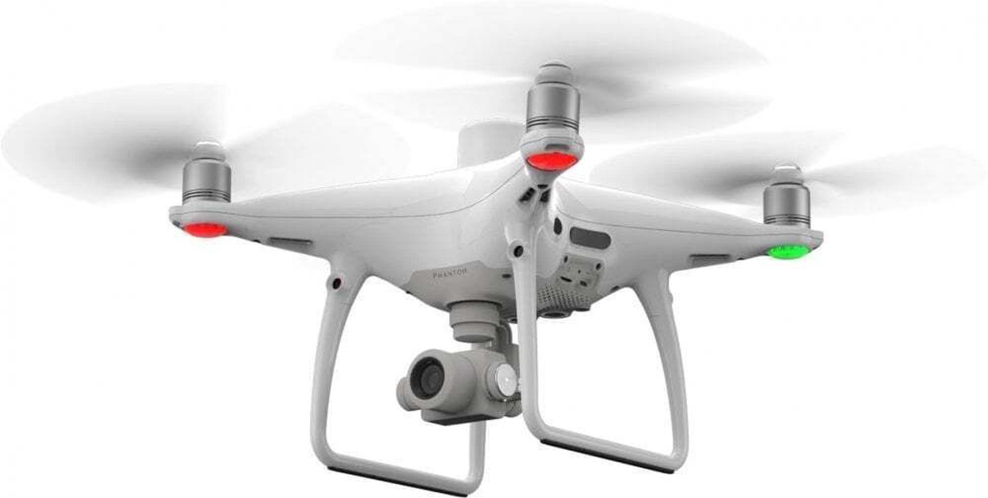
Drons DJI Phantom 4


Atvaino, šī prece šobrīd nav pieejama internetā. Taču piedāvājam pārskatīt citas šīs kategorijas preces – ticam, ka atradīsi līdzīgu preci.

Tāpat vari turpināt iepirkšanos, atgriežoties sākumlapā vai meklēšanas laukā ierakstot, kādu preci meklēji.
Informācija

Izstrādājuma īpašības

Kopējie parametri

Produkta veids Droni
Zīmols DJI
Modelis Phantom 4

Jauda un veiktspēja

Darbības rādiuss 7000 m
Darbības laiks ar pilnu uzlādi, līdz 30 min

Vadība

Vadība Viedtālrunis

Funkcijas un iespējas

Navigācijas (GPS) funkcija Jā
Maksimālais ātrums 58 km/h

Izmēri un svars

Svars 1.3 kg

Papildus

Papildus informācija Neticami precīza pozicionēšanas sistēma. Saderīgs ar D-RTK 2 mobilo staciju
Obligātā garantija 24 mēn

Video materiāls

Preces apraksts angļu valodā:


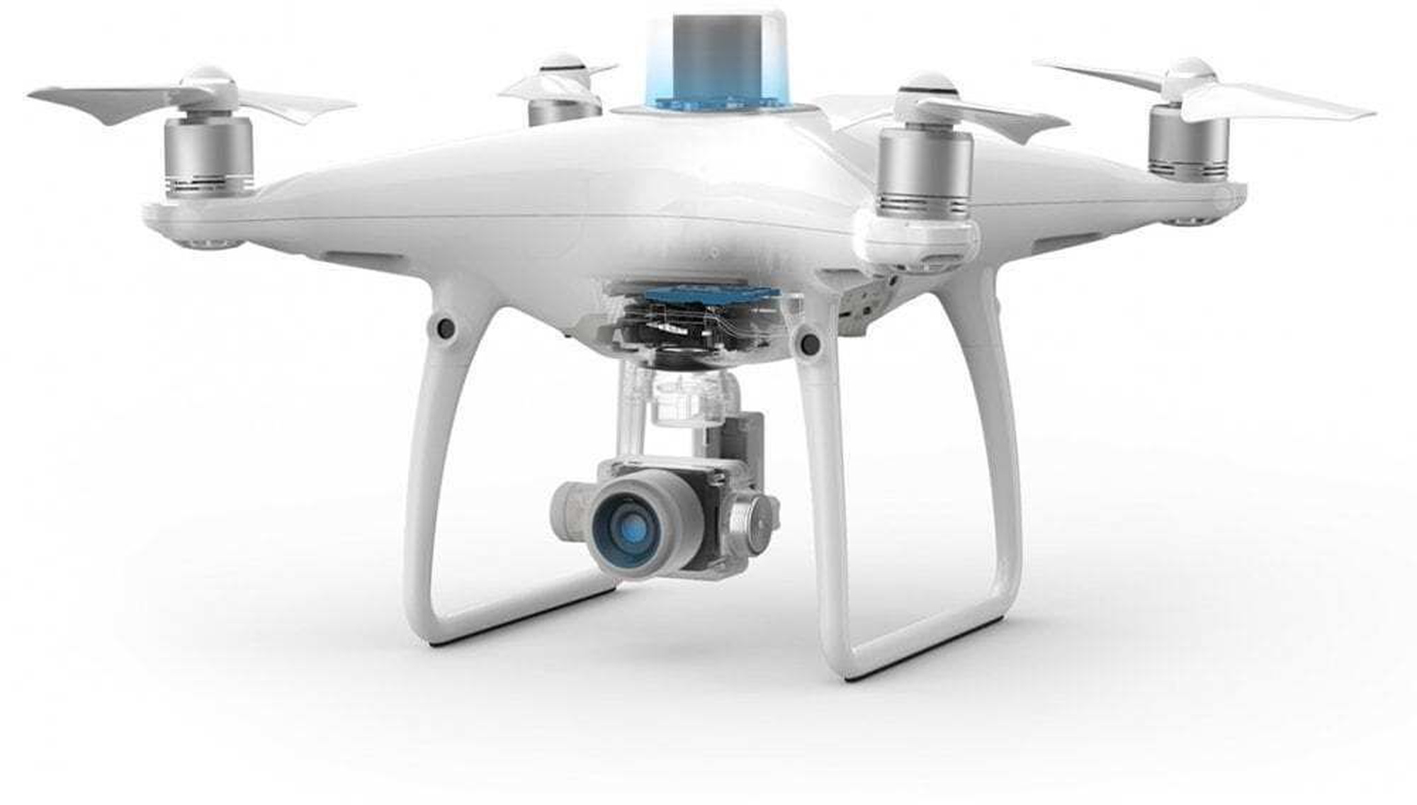
Centimeter-Level Positioning System
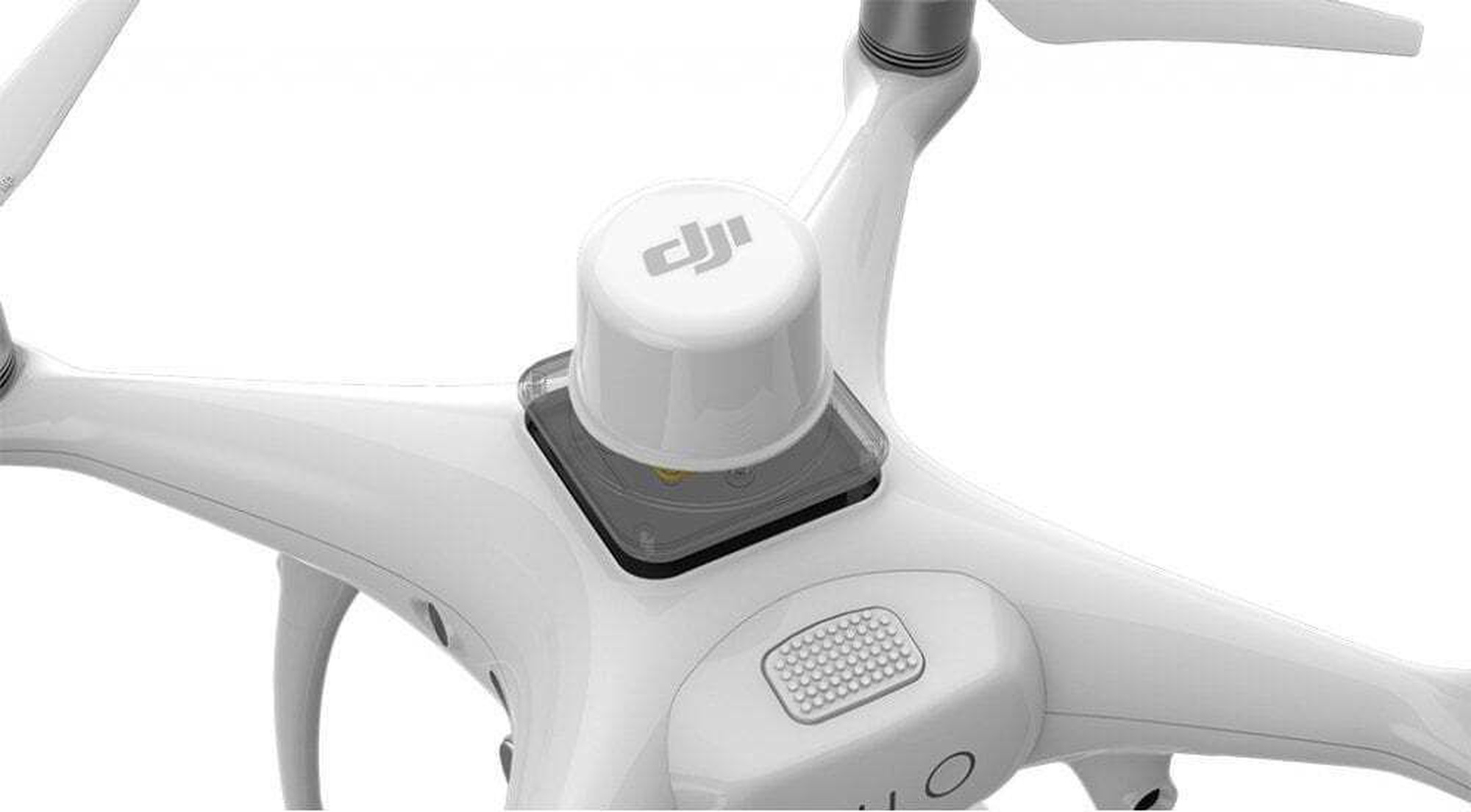
A new RTK module is integrated directly into the Phantom 4 RTK, providing real-time, centimeter-level positioning data for improved absolute accuracy on image metadata. In addition to optimized flight safety and precise data collection, the Phantom 4 RTK stores satellite observation data to be used for Post Processed Kinematics (PPK), which can be conducted using DJI Cloud PPK Service*. Fit the Phantom 4 RTK to any workflow, with the ability to connect this positioning system to the D-RTK 2 High Precision GNSS Mobile Station, or NTRIP (Network Transport of RTCM via Internet Protocol) using a 4G dongle or WiFi hotspot.

*DJI Cloud PPK Service is currently not available in in the US, Canada, Hong Kong SAR, or Macau SAR. Support is coming soon. For more information on the Service and a free trial, please contact your local dealer.

Gather Accurate Data with TimeSync
To take full advantage of the Phantom 4 RTK’s positioning modules, the new TimeSync system was created to continually align the flight controller, camera and RTK module. Additionally, TimeSync ensures each photo uses the most accurate metadata and fixes the positioning data to optical center of the lens – optimizing the results from photogrammetric methods and letting the image achieve centimeter-level positioning data.

Precise Imaging System
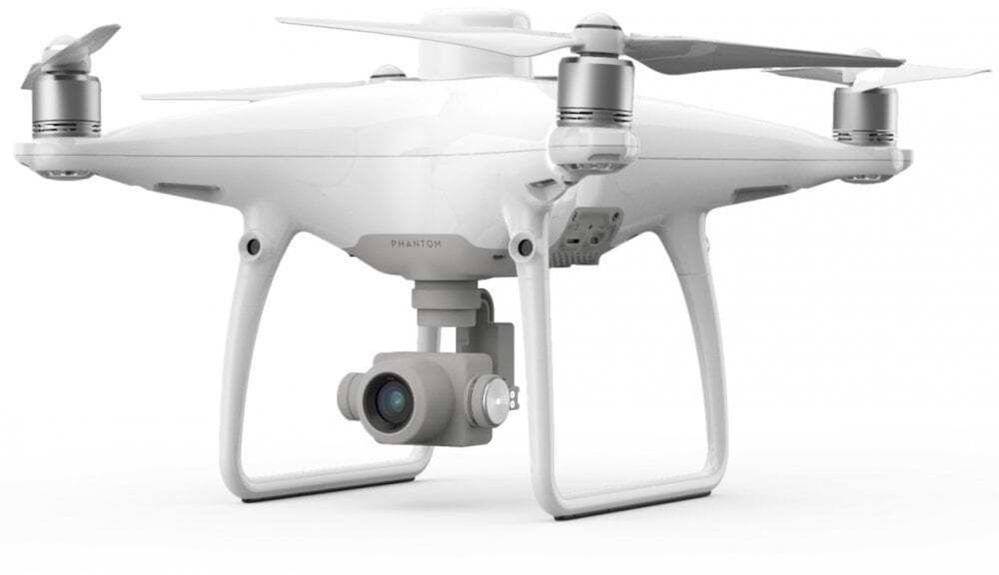
Capture the best image data with a 1-inch, 20-megapixel CMOS sensor. Mechanical shutter makes mapping missions or regular data capture seamless as the Phantom 4 RTK can move while taking pictures without the risk of rolling shutter blur. Due to the high resolution, the Phantom 4 RTK can achieve a ground sample distance (GSD) of 2.74 cm at 100 meters flight altitude.To ensure each Phantom 4 RTK offers unparalleled accuracy, every single camera lens goes through a rigorous calibration process, with parameters saved into each image’s metadata, letting post-processing software adjust uniquely for every user.

Built for Surveyors
Offering a range of control schemes and complimentary technologies,
the DJI Phantom 4 RTK is developed to provide survey-grade results with greater efficiency than ever before.

Purpose-Built Application
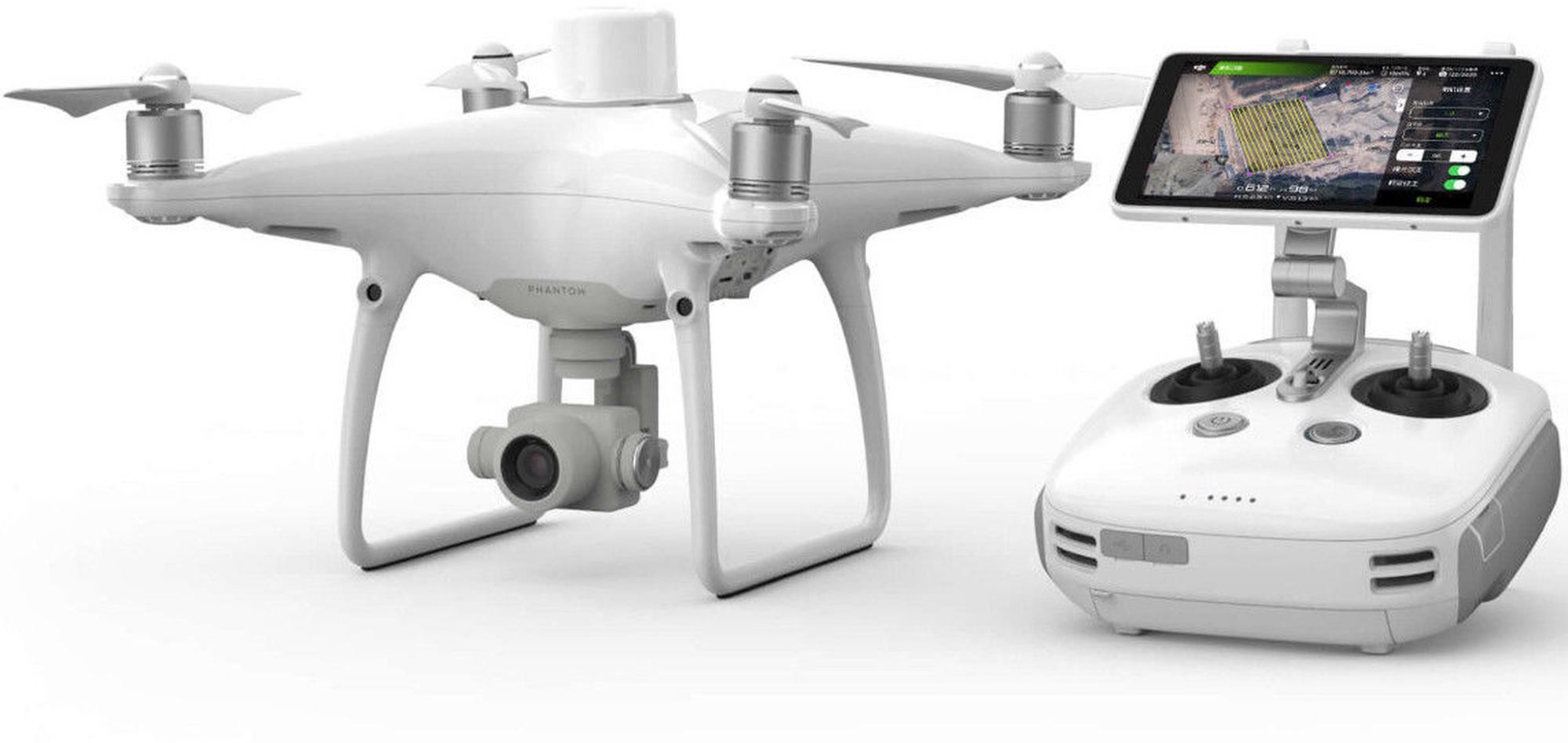
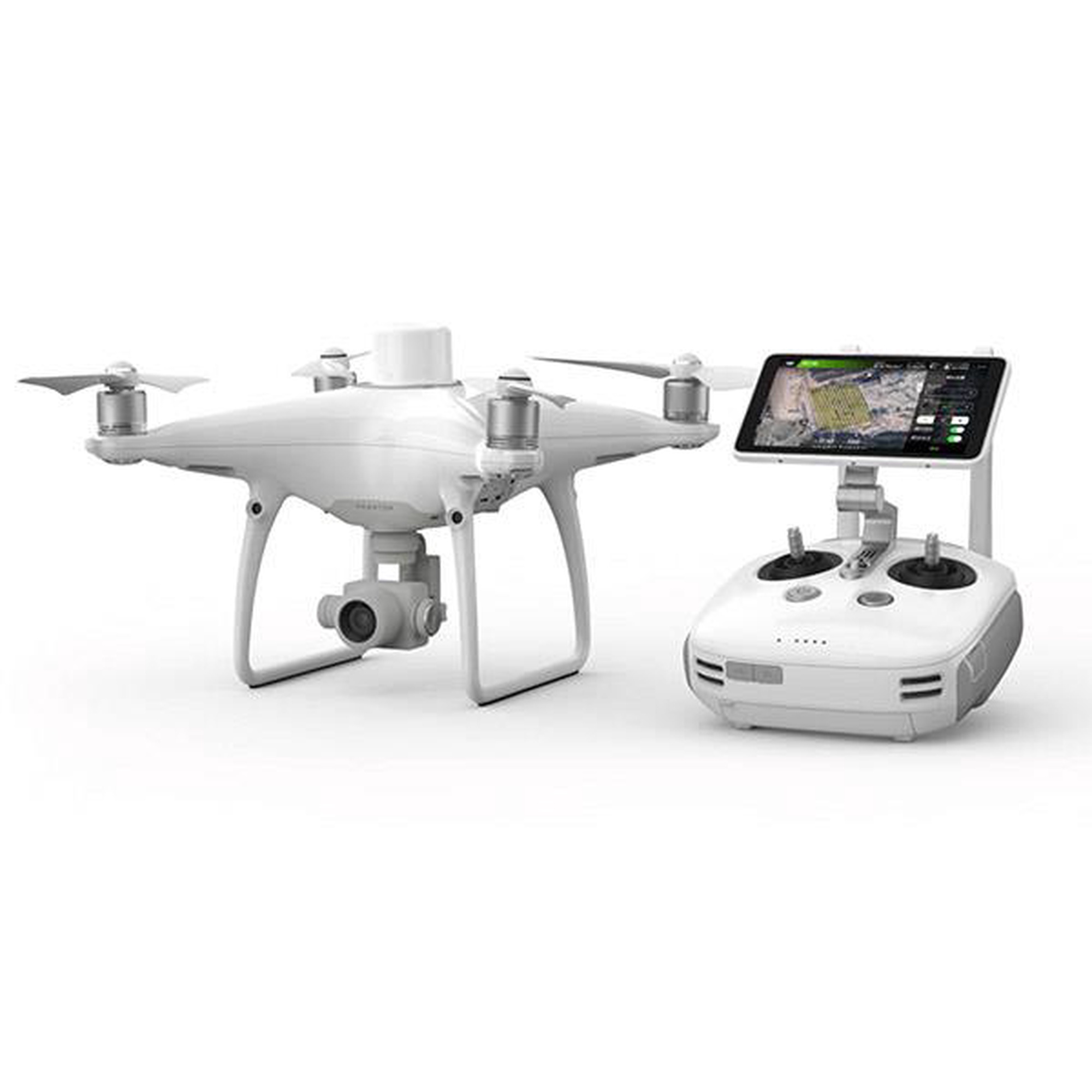
A new DJI GS RTK app and Remote Controller with built-in screen, giving users a streamlined control scheme for surveying missions and other data acquisition scenarios.The GS RTK app allows pilots to intelligently control their Phantom 4 RTK, with multiple planning modes, including Photogrammetry (2D and 3D), Waypoint Flight, Terrain Awareness, Block Segmentation*, and more. Users can also import KML/KMZ files to optimize the workflow for their missions.With the built-in screen, pilots can clearly view and plan their missions on an ultra-bright, 5.5-inch HD display.

*In some countries, local regulations do not permit Multi-Aircraft Control when executing Block Segmentation missions or require special approval. Please consult and follow the applicable rules wherever you operate.

Access a Variety of 3rd Party Applications
Pilots with experience using 3rd party apps on DJI drones can access the world's leading drone app ecosystem for their Phantom 4 RTK with the SDK Remote Controller. Users can plug in a compatible Android or iOS device and install any compatible DJI Mobile SDK-enabled app to harness the full power of their Phantom 4 RTK.

OcuSync Transmission System
Enjoy stable and reliable HD image and video transmission at distances of up to 7 km, great for mapping larger sites*.

*Unobstructed, free of interference, when FCC compliant. Maximum flight range specification is a proxy for radio link strength and resilience. Always fly your drone within visual line of sight unless otherwise permitted.

Seamless Compatibility with D-RTK 2 Mobile Station
Support your Phantom 4 RTK missions with the D-RTK 2 Mobile Station – providing real-time differential data to the drone and forming an accurate surveying solution, or acquire accurate location coordinates when used as an RTK rover. The Mobile Station’s rugged design and OcuSync transmission system ensures you can gain centimeter-level accurate data with your Phantom 4 RTK in any condition.

Start Mapping Today
With a built-in flight planning app (GS RTK) and an easy method to collect RTK data (RTK Network or D-RTK 2 Mobile Station), pilots have a full solution for any surveying, mapping or inspection workflow – right out of the box.
Preces krāsa var atšķirties no attēlā redzamās. Produkta apraksts ir vispārīgs, tajā ne vienmēr ir minētas visas produkta īpašības. Produktu cenas e-veikalā var atšķirties no cenām lielveikalos un servisa centros. Preču atlikums noliktavā un e-veikalā var atšķirties, tāpēc šādos gadījumos piegādes nosacījumi var atšķirties no tiem, kas norādīti pasūtījuma veikšanas brīdī un / vai nevarēsim izpildīt Tavu pasūtījumu vai tikai daļēji izpildīt (tādos gadījumos Pircējs tiek informēts nekavējoties). AI Modified - Rediģēts, izmantojot MI

Pamanīji kļūdu preces aprakstā, īpašību tabulā vai attēlu galerijā? Ziņo mums